AutoCAD Civil 3D for Survey/Transportation Training in Coimbatore
AutoCAD Civil 3D training institute in Coimbatore For the best AutoCAD Civil 3D for Survey/Transportation Training in Coimbatore, come join CubikCadd. We help you learn the foundational concepts of Civil AutoCAD, how to analyze the data, and make your first job successful.
Free Live Demo
Session
100% Successful Course Completions
Training From Professionals Experts
Fully Hands-on
Training
Certification after
Course
AutoCAD Civil 3D for Survey/Transportation Training in Coimbatore key Features
- Industry professionals to guide your learning and career growth
- Video courses instructed by subject matter experts
- Hands-on experience to apply and reinforce newly learned skills
- Prepare for industry certifications
- Assessments to prove your skill development and see real-time progress.
Quick Enquiry!
Course Details
AutoCAD Civil 3D Syllabus
- Working with Point Data
- Surface Creation and analysis
- Parcels
- Design Criteria
- Alignment Creation
- Corridor Design
- Intersection Design
- Roundabout Design
- Custom Assembly Creation
- Earthworks Calculation
- Quantity Take Off
- Design Rules
- BOM
Computer Aided Land Survey
Transportation Design
Report Generation
Pipe Layout
Plotting
Project: CIVIL 3D CAD -RAIL Bridge

AutoCAD Civil 3D for Survey/Transportation is the making use of custom tools and forms created by FDOT for increasing the productivity and design plans consistency using AutoCAD Civil 3D software. The software enables us to design product assemblies and Create a File of it with the proper Templates.
- Learn how to implement AutoCAD 3D designing in transportation industries
- Implement the FDOT steps while planning the project
- Learn the tools with respect to the state kit
- Know how the standards for FDOT works
- Build 3D modeling and designs.

Done my 3d Civil and ansys in cubik cadd academy..interactive and interesting training provided by mr.suresh..happy to done my course here.they assist some placement also
I did AutoCAD civil and Staad.pro here and it was very informative. The faculties here are just wonderful. One of the best place to learn Civil 3D In Coimbatore.
Good institute n faculty is good free minded to solve the doubt's.i Completed My Civil 3D Course Here.Trainers Are Well Knowledged In Both Practical And Software.Suggesting Every One To Do Civil Cad Here.best Cad Center In Coimbatore
This is the best institute for learning Civil cad for beginners and experienced professionals in Coimbatore, and the real time scenarios explained here are directly in line with the questions asked in interviews. The course content and reference docs are good and the best thing is the way the staff treat us and teach us.
I have completed my autodesk civil 3d course here in cubikcad Expert staff and gives good guidance to the students especially to freshers with standard manualAnd I got job as a test engineer with reference of cubikcadd
AutoCAD Civil 3D for Survey/Transportation training placement
Test your skills and get personalized AutoCAD Civil 3D for Survey/Transportation training placement course recommendations with CubikCadd. Our expert training resources, including courses in AutoCAD, will help you stand out from the rest. So, what are you waiting for? Join this 100 % placement oriented course today.
AutoCAD Civil 3D for Survey/Transportation certification in Coimbatore
We know that making time to learn can be tough—that’s why we rounded up popular AutoCAD Civil 3D for Survey/Transportation certification in Coimbatore that can be completed in less time. We will help you develop a deep understanding of how to structure and design 3D models for Survey/Transportation.
Frequently Asked Questions:
AutoCad Is the basic Software For all Design Engineers in Mechanical,Civil and Electrical department.We Will get the Basic Knowledge About Views ,drawings And Drafting While Doing Auto Cad. Auto Cad is the Basic Software Qualification For Designers In All Industries.We Will get A Knowledge to Understand Industry Drawings,Circuits and Layouts.
AutoCAD Civil 3D software is a design and documentation solution for civil engineering that supports building information modeling (BIM) workflows. By learning to use AutoCAD Civil 3D, you can improve project performance, maintain consistent data, follow standard processes, and respond faster to change.
Civil 3D offers many other beneficial tools and features that can enhance your project such as Pressure Networks, Corridor Modeling, Earthwork Calculations, Grading, Pipes, Production Drafting, Geospatial Analysis, Point Clouds, and much more.
Latest Courses
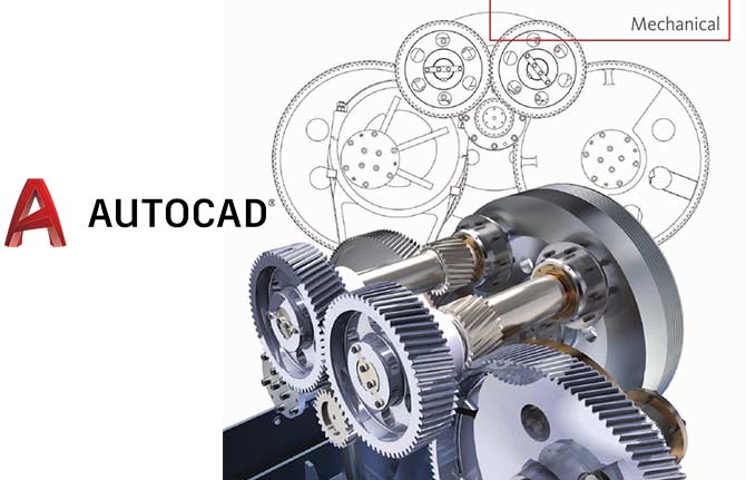
- Mechanical CAD
- AutoCAD
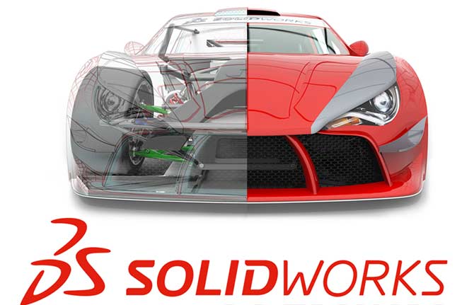
- SolidWorks
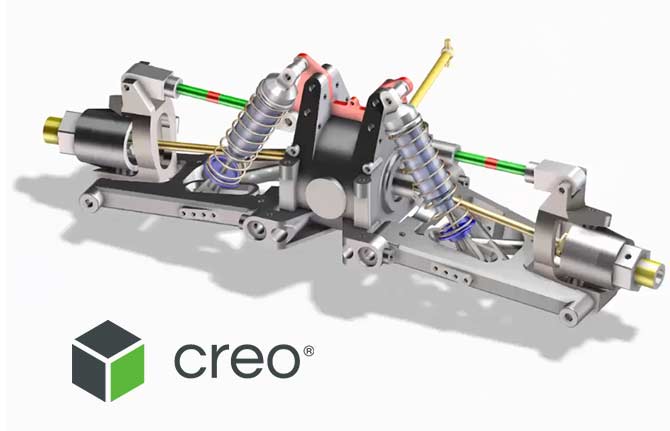
- CREO/ PRO- E
- Auto Desk Inventor
- CATIA
- ANSYS
- Unigraphics NX
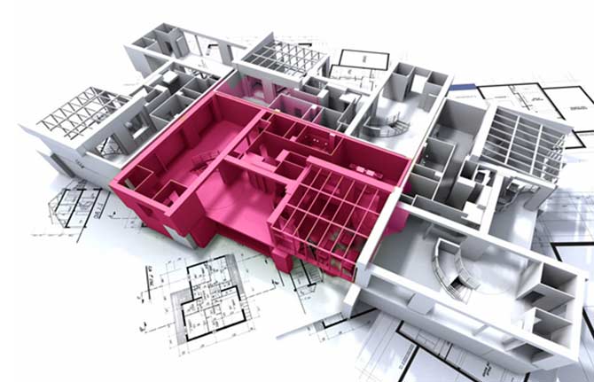
- Civil CAD-Modeling
- AutoCAD
- Autodesk Revit
- Auto CAD Civil 3D for Survey
- Auto Desk 3DS Max
- Bentley STAAD. Pro
- Civil ANSYS
- ETAB
- Tekla
- Electrical AutoCAD
- CNC Training
- Mastercam Training
- Revit MEP
- Rhino 3D CAD
- HVAC